Dino-Era India, Australia and Antarctica Mapped

Dino-Era India, Australia and Antarctica Mapped
Gondwana is long gone, but the rocky remnants of the dino-era super continent still fit together like pieces of an enormous jigsaw puzzle.
Australian geologists recently put that puzzle back together using a computer simulation. The digital model improved maps of how India, Australia and Antarctica fit together 165 million years ago and could lead to fossil fuel deposits.
From approximately 510 to 180 million years ago, Africa, South America, India, Australia and Antarctica formed a single land mass named Gondwana. The internal forces of the Earth eventually shattered the massive continent in a process known as plate tectonics.
The break up of Gondwana cracked some geologic formations into pieces, leaving portions on now widely-separated land masses. The Australian geologists looked for these broken rock and mineral formations on India, Australia and Antarctica. A computer synthetically stitched the cracked continent back together by aligning these broken geologic formations.
“It was a simple technique, matching the geological boundaries on each plate. The geological units formed before the continents broke apart, so we used their position to put this ancient jigsaw puzzle back together again,” said Lloyd White of Royal Holloway University in a press release. “We found that many existing studies had positioned the plates in the wrong place because the geological units did not align on each plate.”
White noted in a press release that mapping the ancient cracks of Gondwana may lead to oil and gas deposits, such as those along southern Australia.
The study was published in the journal Gondwana Research.
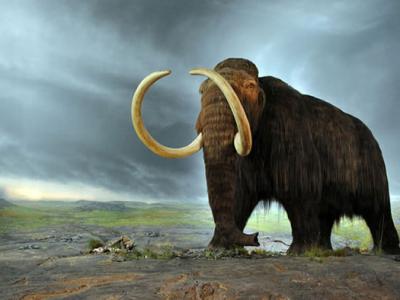
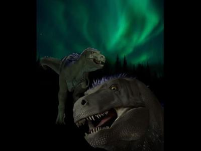
Credit: Cryolophosaurus, a dinosaur from Jurassic Era Antarctica. (ДиБгд, Wikimedia Commons)(Jul 6, 2013 08:43 AM ET // by Tim Wall)